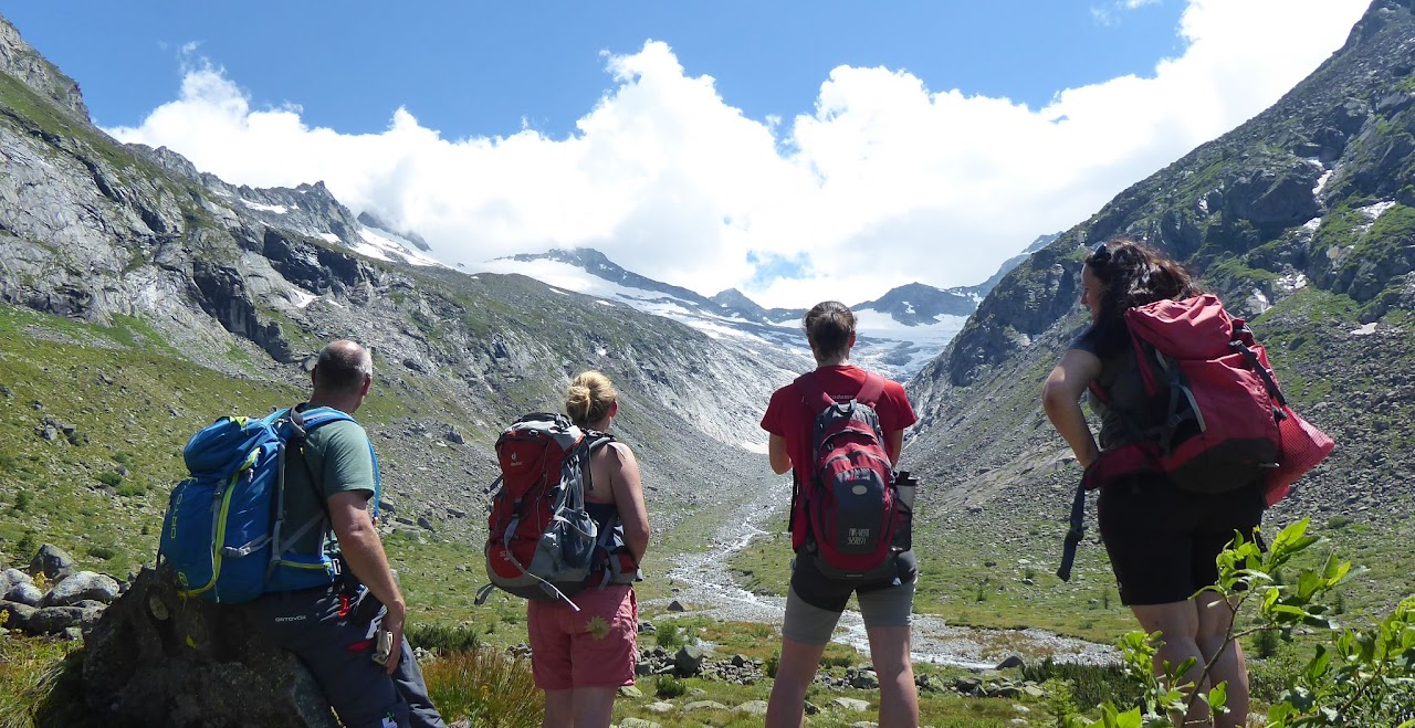
Hiking routes to explore the impacts of climate change on mountains
Climate change’s effects are more and more visible in the Alps, with the retreat of glaciers and the shortage of certain species. In the framework of the Green Deal, the European Union will launch a European Climate Pact to raise awareness on the consequences of climate change and involve citizens in climate actions. In Germany and Austria, the Interreg project KlimaAlps wants to raise public awareness on climate change in mountains areas by mapping out hiking routes to discover the traces of climate change’s impacts.
Climate change is already affecting the Alps
Climate change severely affects the Alps and their glaciers. In 2019, a study demonstrated that the Alps would be mostly ice free by 2100 due to global warming. From now on until 2050, 50% of the glacier volume will disappear, independently from the world’s greenhouse gas emissions management, according to scientists. As for glaciers after 2050, their future remains closely linked to climate policies implemented to reduce emissions.
But effects are already visible today and climate action is nowadays urged both for governments and citizens. In the cross-border region between Germany and Austria, the KlimaAlps project wants to encourage individual climate action and nature protection. To awake the potential for climate protection in everyone and make it effective, KlimaAlps aims at using research results and scientific evidence as food for thoughts and actions by transferring research to education.
Making knowledge on climate change visible and available to everyone in the region follows two processes. Firstly, training “climate educators” on the consequences of climate change on different mountain resources, such as water and forests. Secondly, mapping sites in mountain regions where the impacts of climate change are visible and linking these throughout thematic hiking routes.
Training educators to explain climate change effects on mountains
The Climate Educator Training consists of seven modules, designed by regional experts, that deal with the regional visualisation of climate change in the landscape. Targeted persons, such as hiking guides, teachers, environmental protection agents, are trained on climate change consequences in the region, such as the impacts on glaciers and biodiversity. The objective is to transfer knowledge from researchers to educators and provide them with the keys to understanding the complex interconnections of climate change and its global impacts in mountain territories. The seven modules are:
- Climate change, taught by the Climate Alliance Tyrol
- High mountains, by the Zillertal Alps Natural Park
- Forests, led by the Tyrol State Forestry Service and the Karwendel Natural Park
- Water in mountains, designed by the Natopia association, the Königsdorf Environmental Station and the Benediktbeuern Centre for Environment and Culture
- Peatlands, created by the above mentioned three organisations
- Man settlement, designed by KlimaAlps’ team
- Alpine pastures, also by KlimaAlps

Making climate change visible with hiking routes
The objective of these training modules is to enable climate educators to transfer knowledge to the general public in an educational and concrete way thanks to thematic hiking routes. KlimaAlps is also using research, in collaboration with environmental and climate research centres in the consortia, to map the different sites affected by climate change in the region, with the aim of obtaining an interactive map of visible impacts of climate change in mountains. Beyond climate educators, the map is designed to be used by other actors such as teachers during school trips and excursions and by tourist offices to promote a sustainable activity triggering climate understanding and action.
A pilot hiking route is being created in high mountains in the Zillertal Alps, near the Berliner Hütte – first refuge built in the region in 1879 – where traces of glacier retreat can be seen in the immediate vicinity.
