Integrated data to anticipate forest fires in Mediterranean mountains
Fire is the most significant natural threat to forests and wooded areas in Mediterranean mountains. Their natural ecosystems, rich in shrubs, are especially vulnerable to fire and climate change fosters wildfire risks due to the rise of temperatures during summer. In the mountains of Troodos (Cyprus) and Grammos (Greece), different datasets on climate, flora and fire occurrence were combined to improve forest fires’ management.
Forest fire risks in Mediterranean mountains
Forest fires is a major risk in Mediterranean mountains, like in Cyprus and Greece. The average annual number of forest fires in the Mediterranean basin, particularly in southern Europe, is close to 50,000 – twice as many as during the 1970s. In 2019, Greece experienced 657 forest fires, including 5 large fires affecting more than 500 ha of land. In Cyprus, during the same year, 99 forest fires hit a total of 733 hectares – a lower number, for which the much smaller size of the country compared to Greece must be taken into account (see JRC’s 2019 report on Forest Fires in Europe).
The plant ecosystem of the Mediterranean basin is rich in shrubs and coniferous forests and, thus, particularly susceptible to fire. In these regions, summers are becoming warmer, drier and longer due to climate change. In Cyprus, in May 2019, the average temperature recorded was already 2.0°C above normal. Climate projections predict an increase both of frequency and severity of forest fires in the Mediterranean basin in the future.
Disasters, such as forest fires, happen when a hazard meets vulnerability and exposure. In many cases, vulnerability is hampered by a lack of strategy for disaster-management, lack of coordinated actions between the different stakeholders and inadequate update of information and data.
Data analysis for fire prevention and management
The LIFE CALCHAS project therefore looked at key elements of disaster management, preparedness and risk reduction. This project was implemented in two pilot areas: the Troodos mountains, in Cyprus, and the Grammos massif, in Greece.
To strengthen forest fires’ management, the CALCHAS project seeked at improving the knowledge and skills of civil protection professionals, policymakers and local communities. The overall objective was to improve the temporal and spatial management of resources, the evacuation management and the readiness of all stakeholders dealing with forest fire risks.
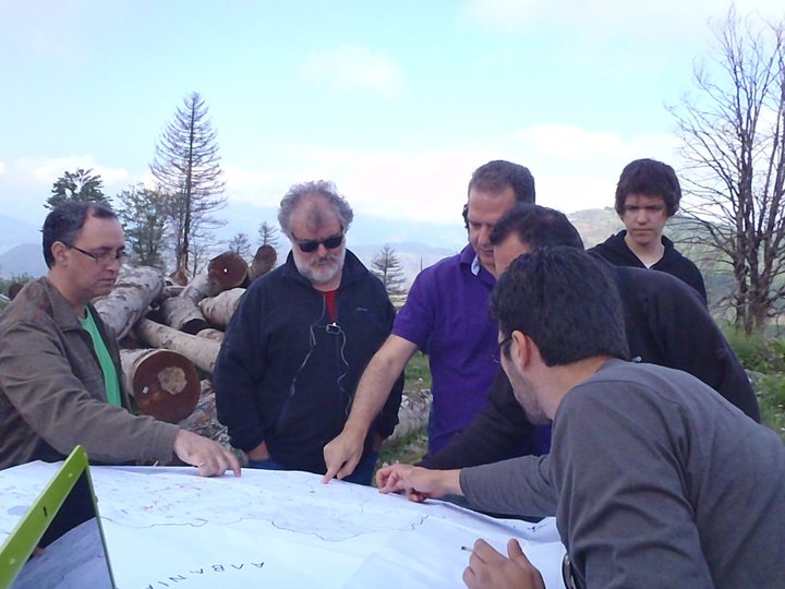
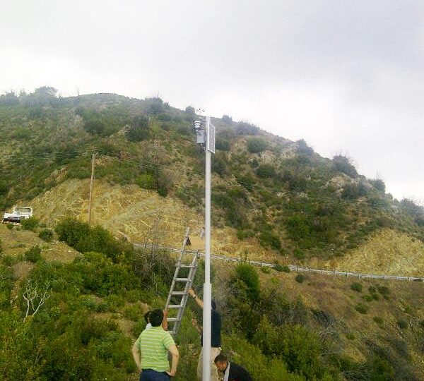
To achieve these goals, partners identified the areas most subjected to fire risk in the Troodos and Grammos mountains. They also identified the most flammable flora species and mapped their spatial distribution. In a second step and 20 meteorological stations were installed in these vulnerable areas.
The collected data was then used by a fire simulator tool developed within the project: the Integrated Forest Fire Analysis System (IFFAS). The tool combines climate data and topography information on the local vegetation density to identity when environmental conditions are favourable to a fire outbreak and thus to predict fire development and help to manage it.
The tool developed within the project can be used as a support mechanism to trigger information, risk prevention and decision and makes it interesting to both policymakers and fire brigades.
In order to train stakeholders to the use of the fire simulator software, including civil protection services, fire brigades, and decision makers, 3 training sessions were organised in Cyprus and 2 in Greece.

